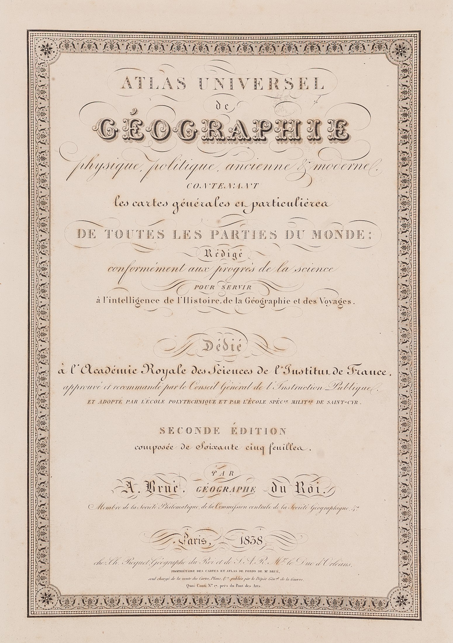
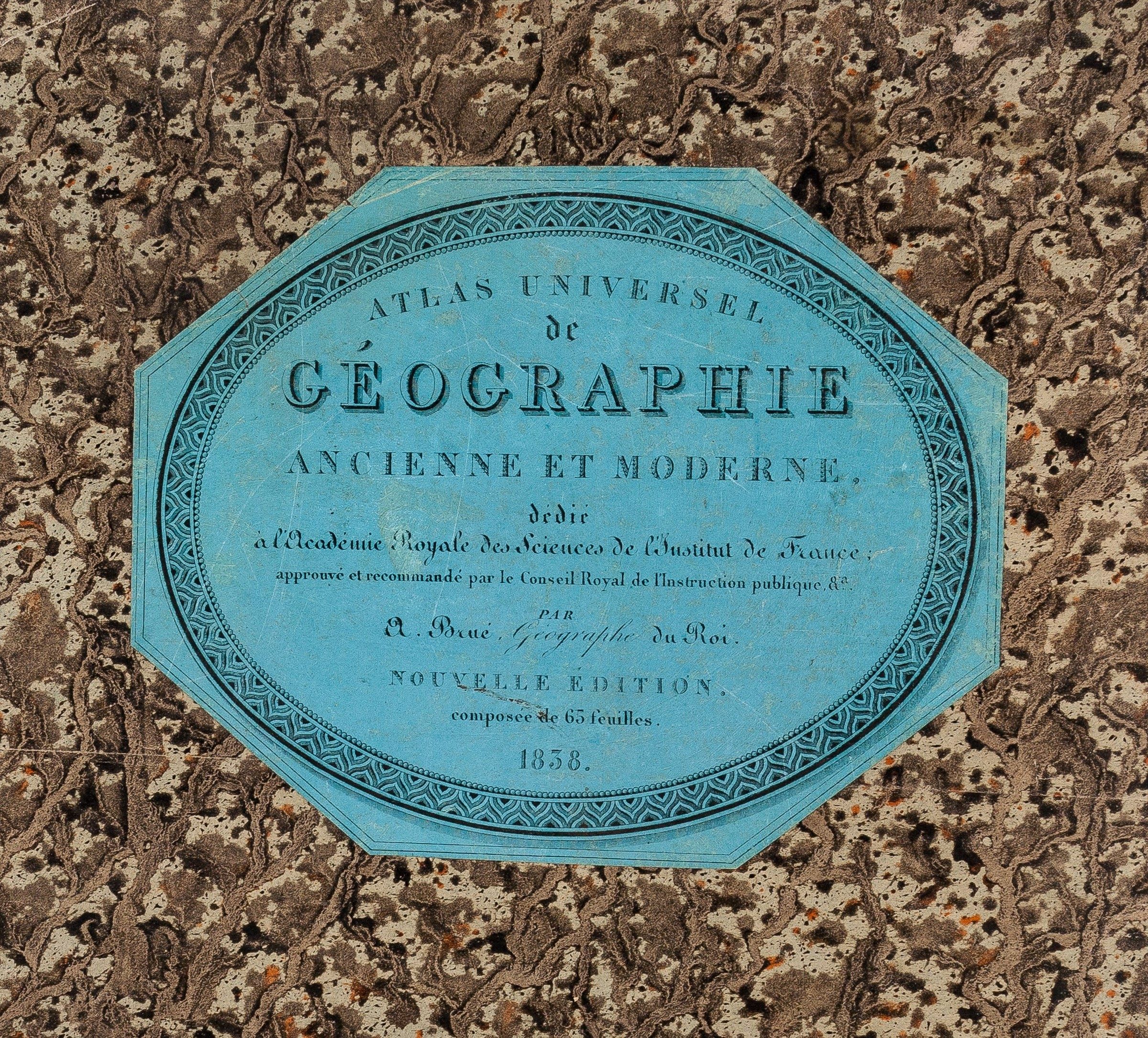
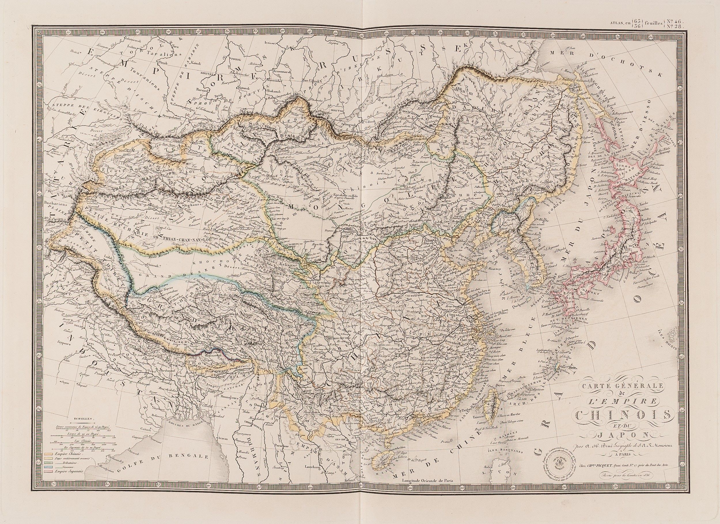
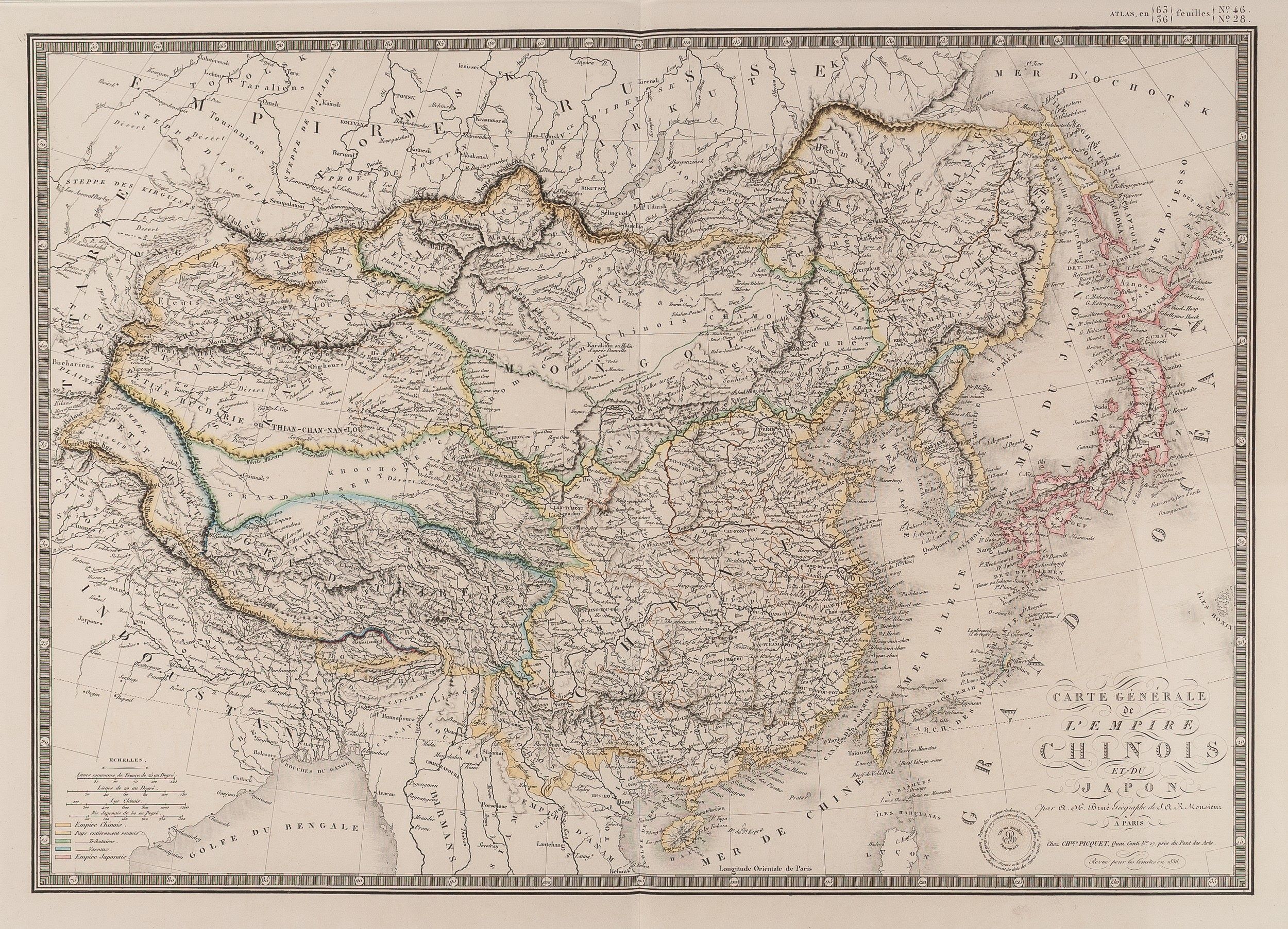
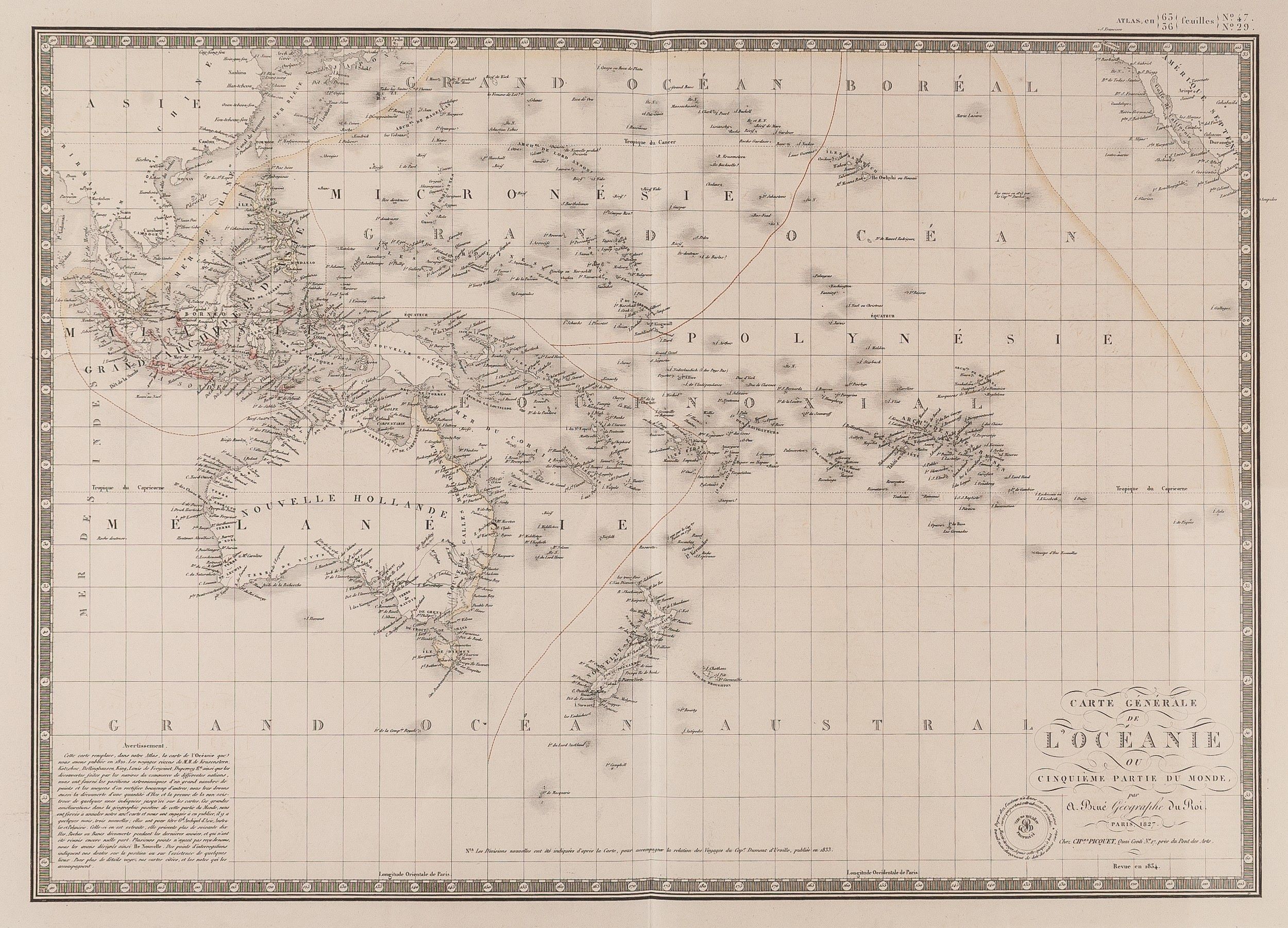
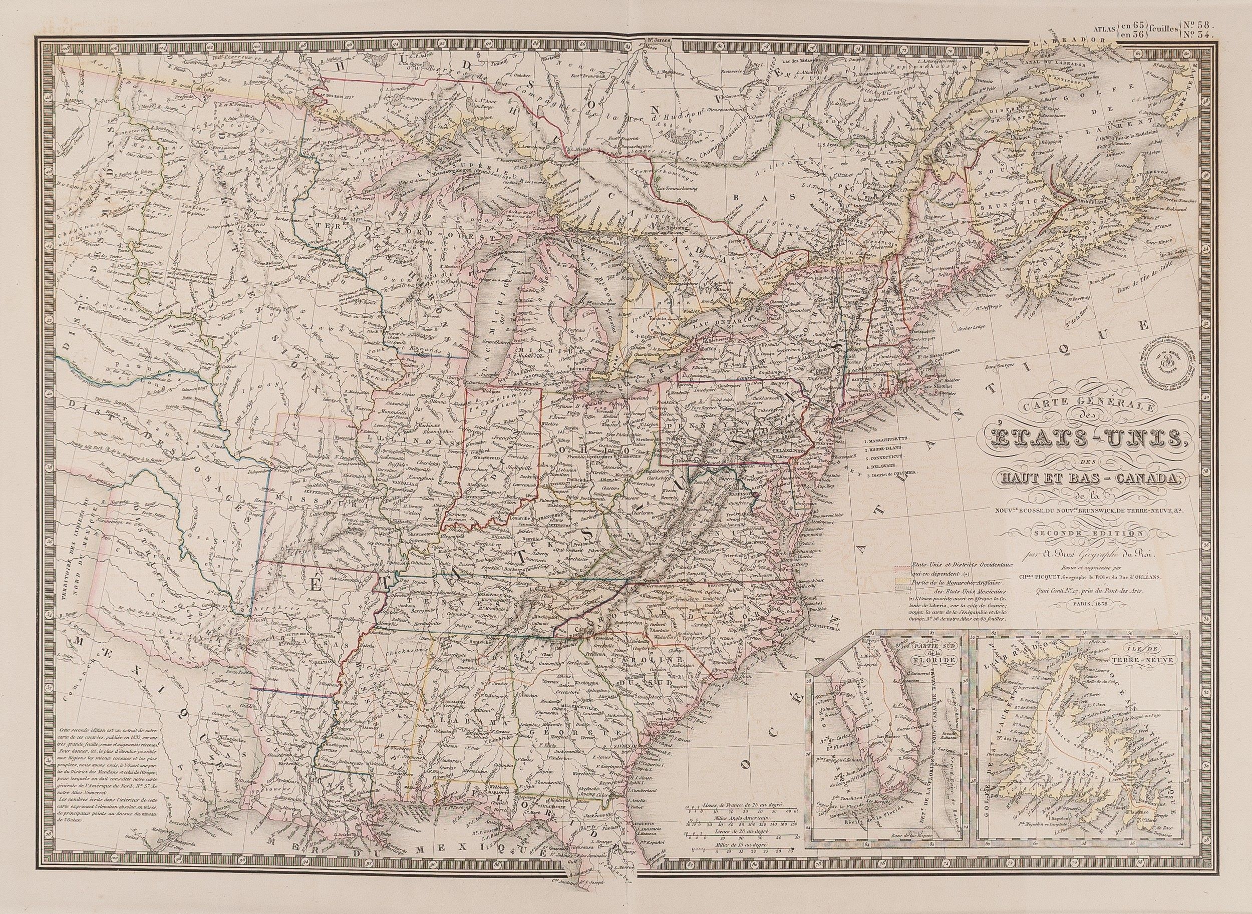
Atlas Universel de Geographie, physique, politique, ancienne & moderne. Contenant les cartes generales et particuliere de toutes les parties du monde; redigee conformement aux progres de la science pour servir a l'intelligence de l'Histoire de la Geographie et des Voyages ...
BRUE Adrien Hubert (1838.)
£6000.00
Please contact us in advance if you would like to view this book at our Curzon Street shop.
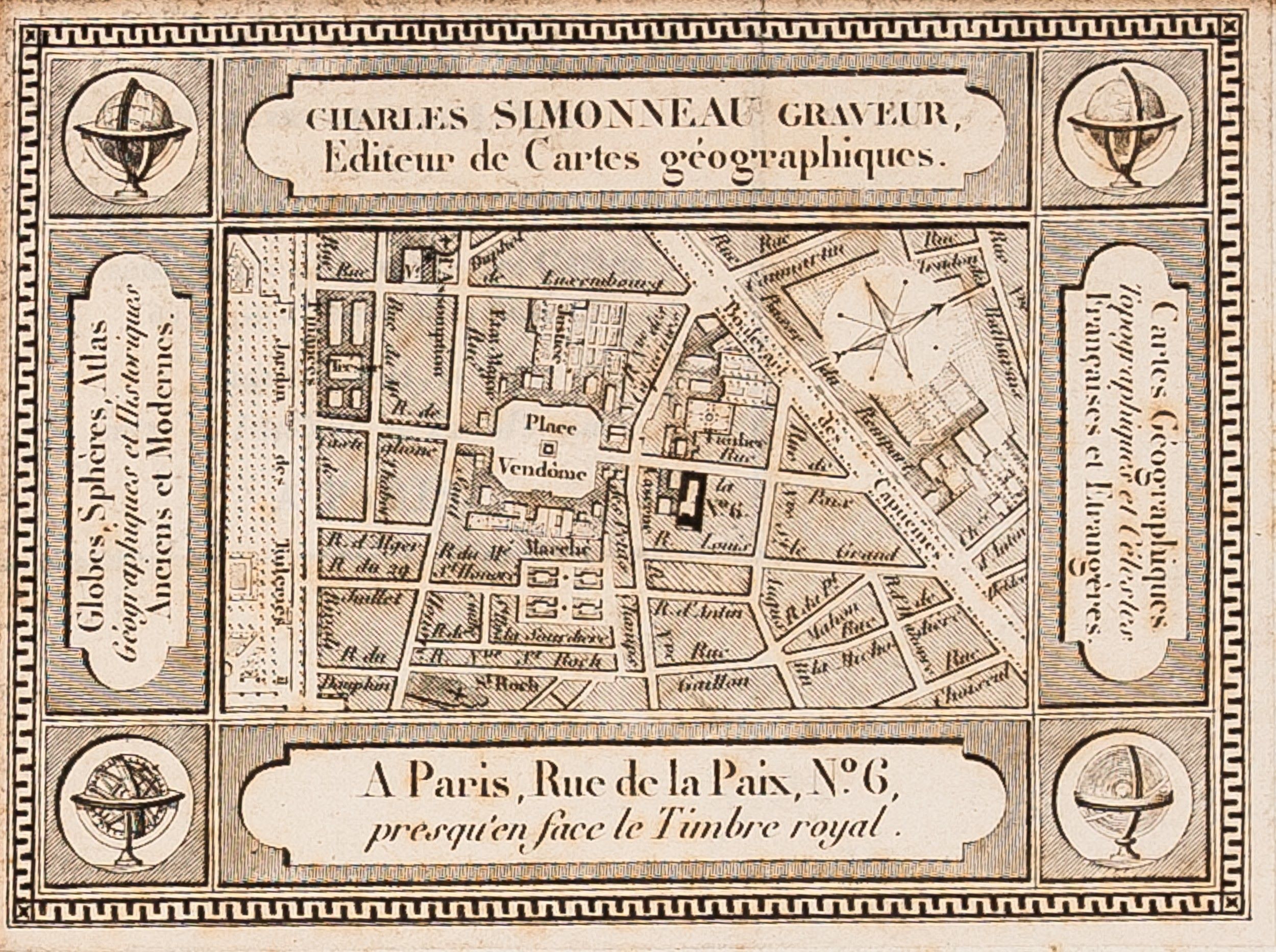
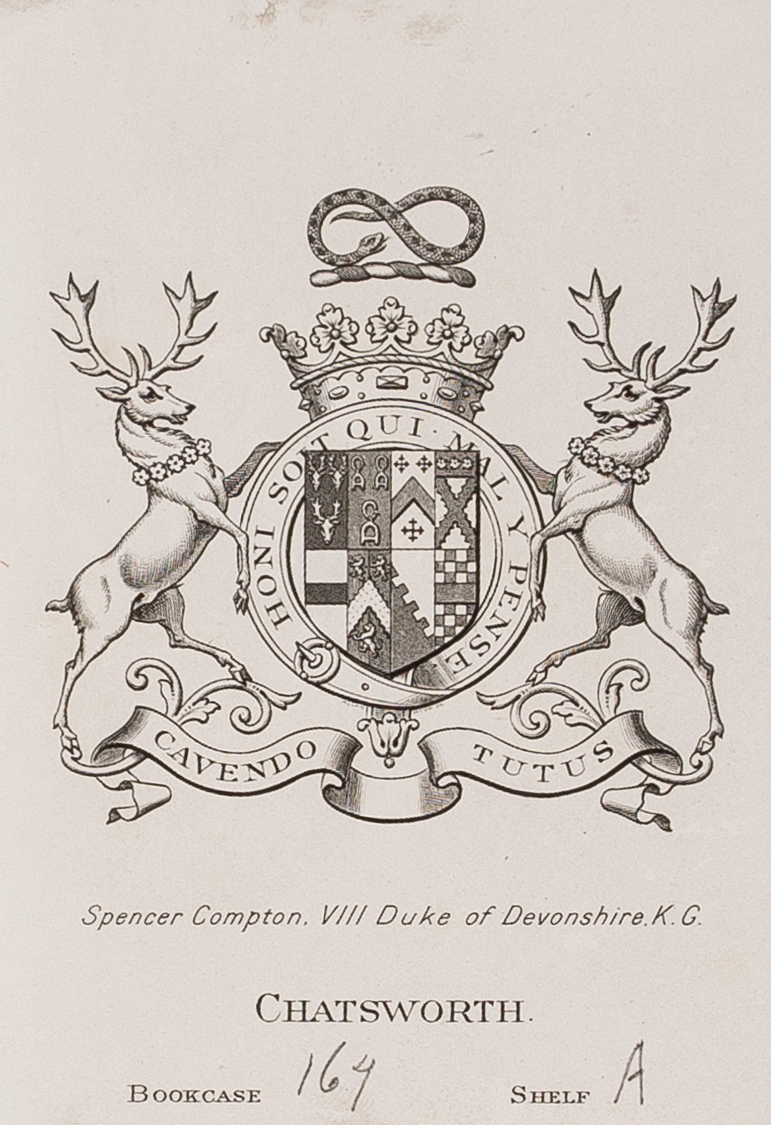
Second edition; large folio (533 x 363 mm); (vi)pp., sixty-four maps, all but one double-page engraved map-sheets, sixty-three in original outline colour, each bearing the Author’s stamp. The index calls for sixty-five, this copy has maps 28 & 29, France, replaced by a folding engraved map of France by Brue dated 1838, and thus is complete as issued. Contemporary half morocco with marbled paper boards, with printed title label on upper board. Front and rear boards split at joints, lacking the spine, two maps with paper split to platemark through pressure in printing, else internally fine. Provenance: contemporary mapseller’s label of Charles Simmoneau and bookplate of Spencer Compton, VIII Duke of Devonshire, K.G. Chatsworth, on the front pastedown. Paris : Charles Picquet,
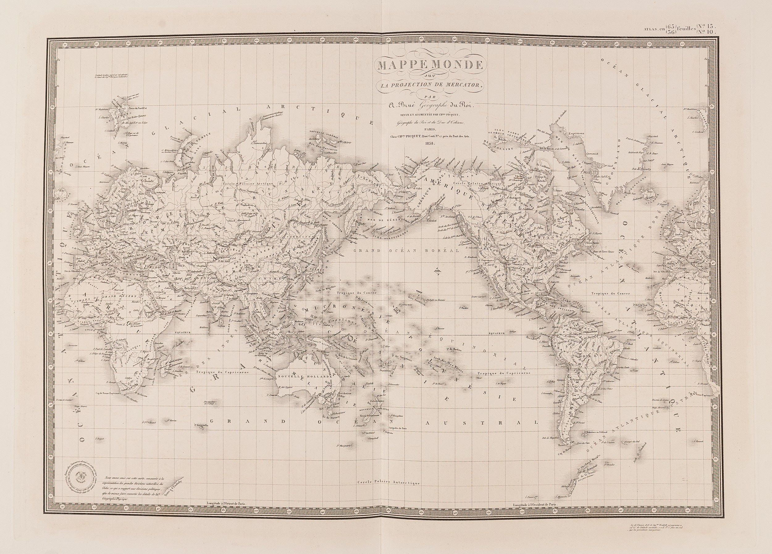
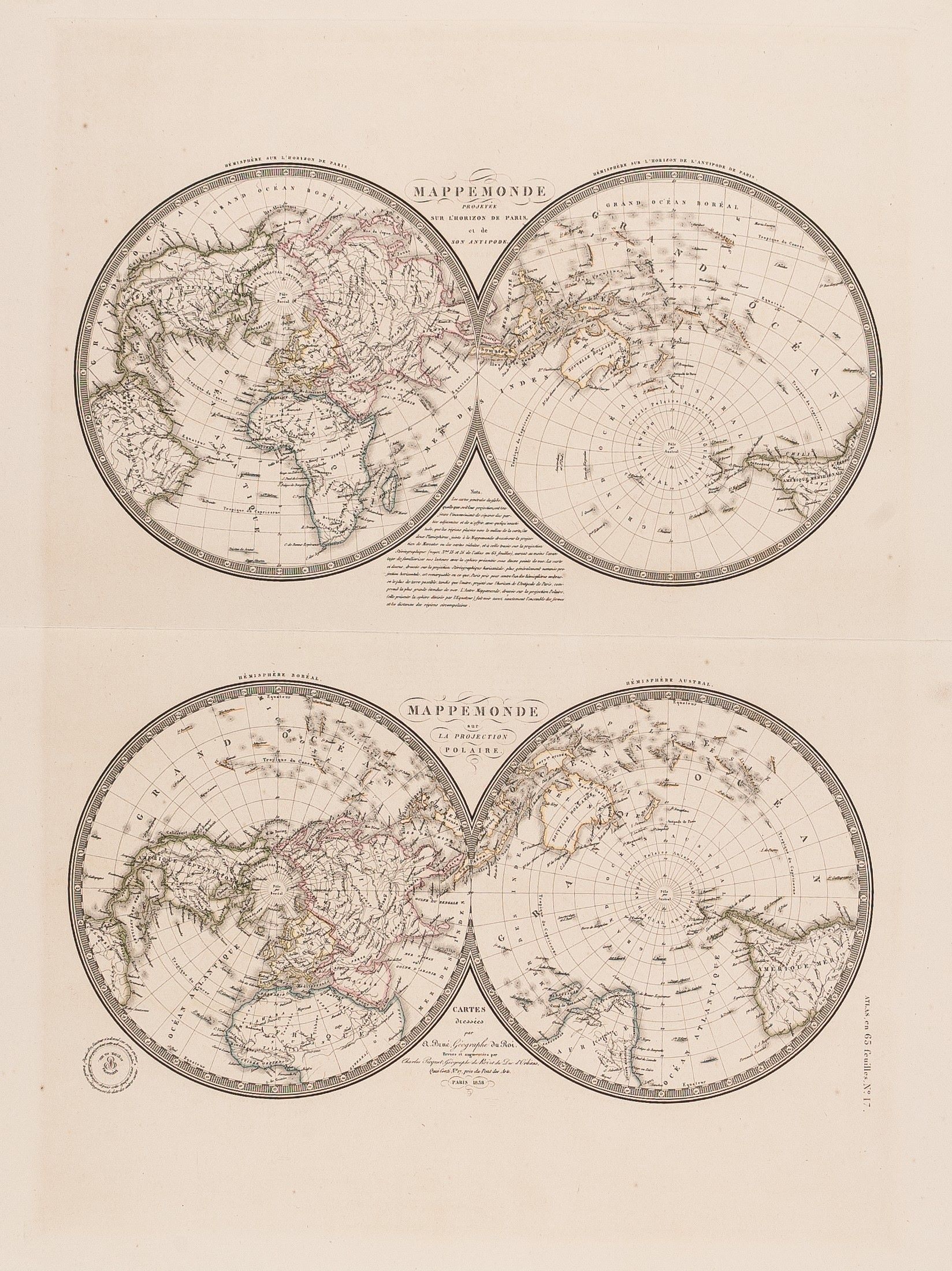
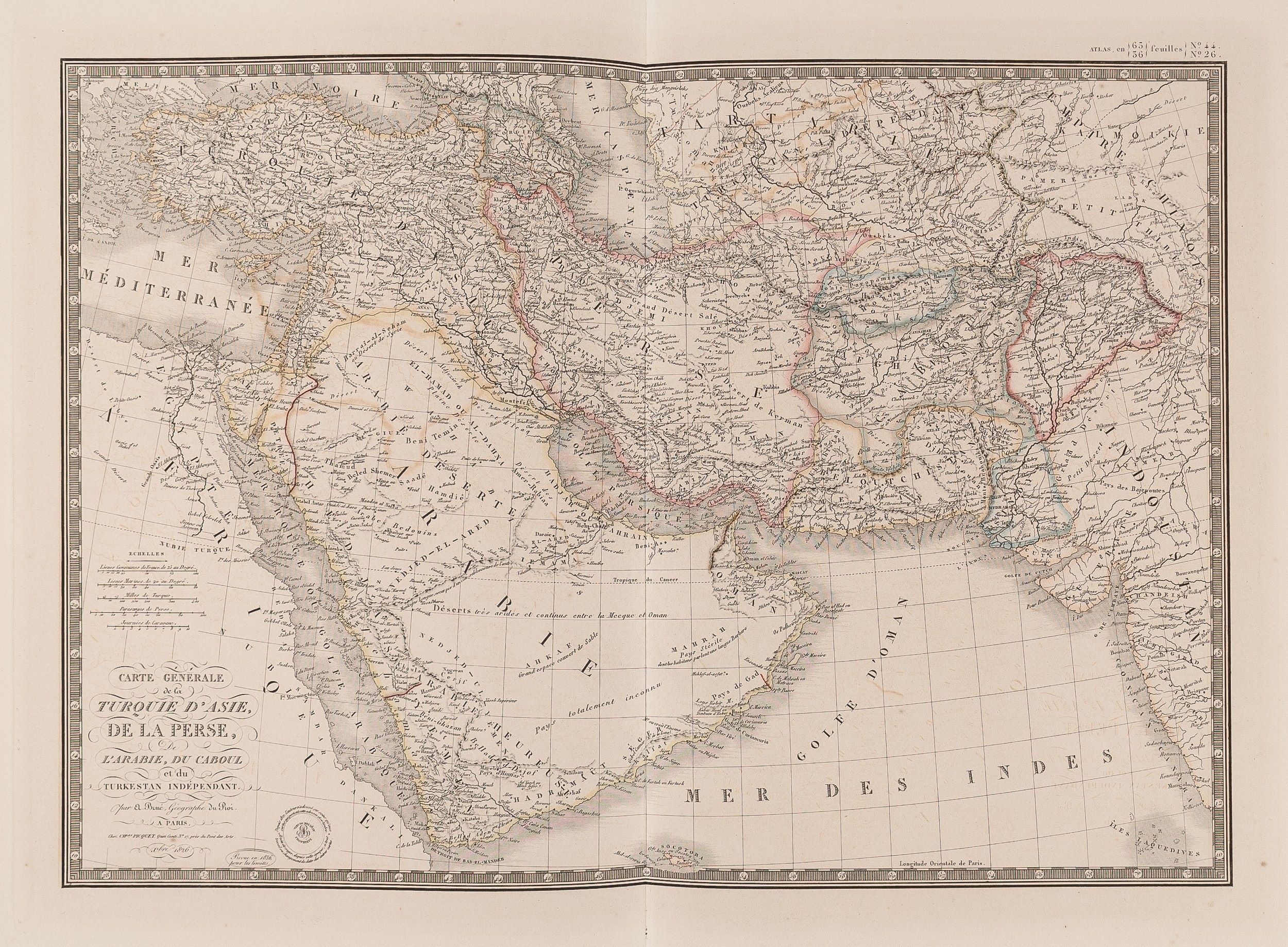
Finely engraved and very detailed world atlas, containing fourteen maps of the ancient world and fifty of the modern world, drawn by Adrien Hubert Brue (1786-1832), géographe du roi, celebrated explorer and cartographer.
Stock Code: 207511


