A Voyage of Discovery to the North Pacific Ocean,
VANCOUVER George (1801)
£6750.00
Available to view at our Curzon Street shop.
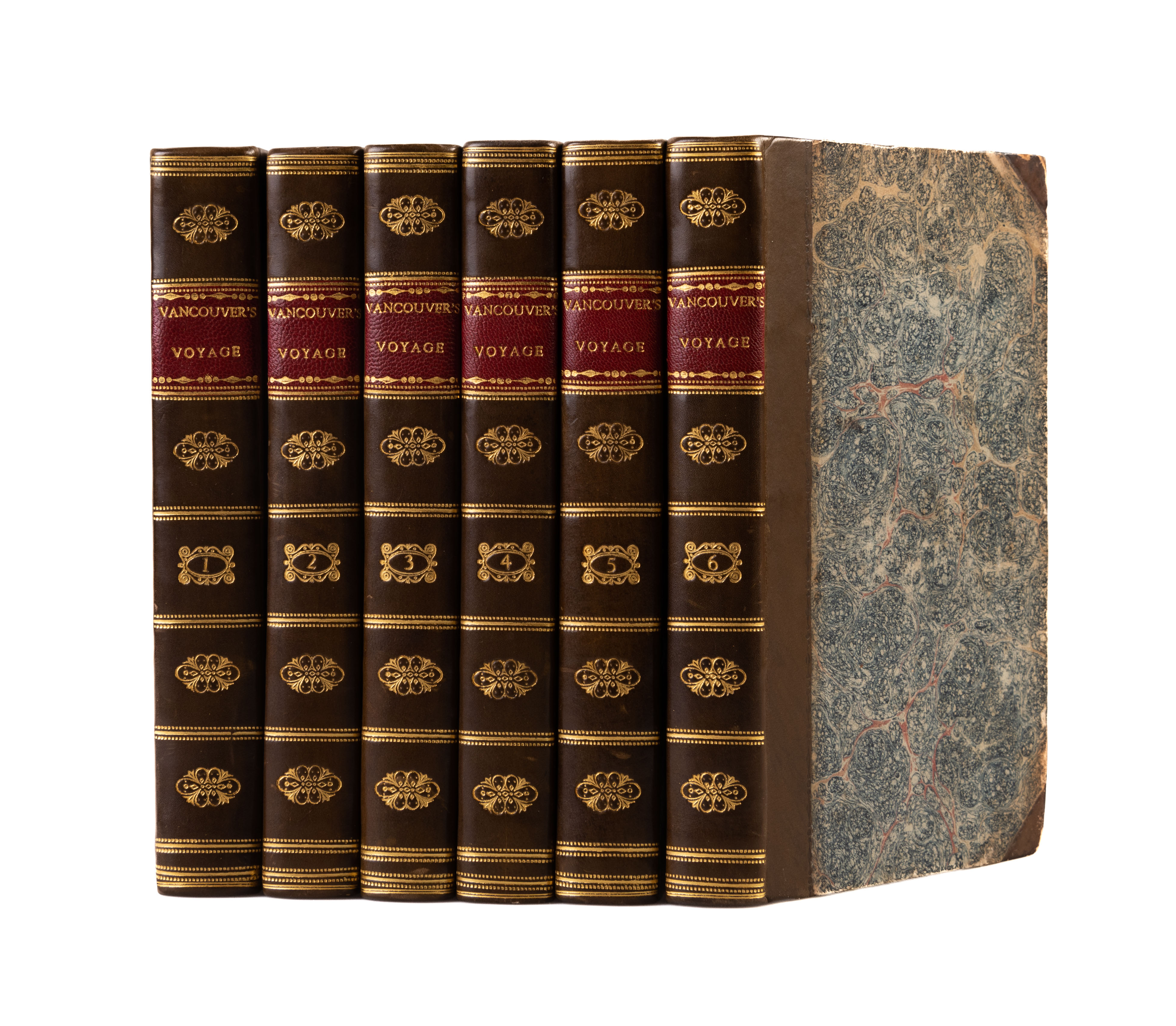
and Round the World, in which the Coast of North-West America has been carefully examined and accurately surveyed... Second edition. 6 vols. Two folding charts and 17 other folding engraved views. 8vo. Contemporary half calf, nicely rebacked, spines richly gilt, with red morocco label to each. 410; [ii], 418; [ii], 435; [ii], 417; [ii], 454; [i], 412, [2]pp. London, John Stockdale,
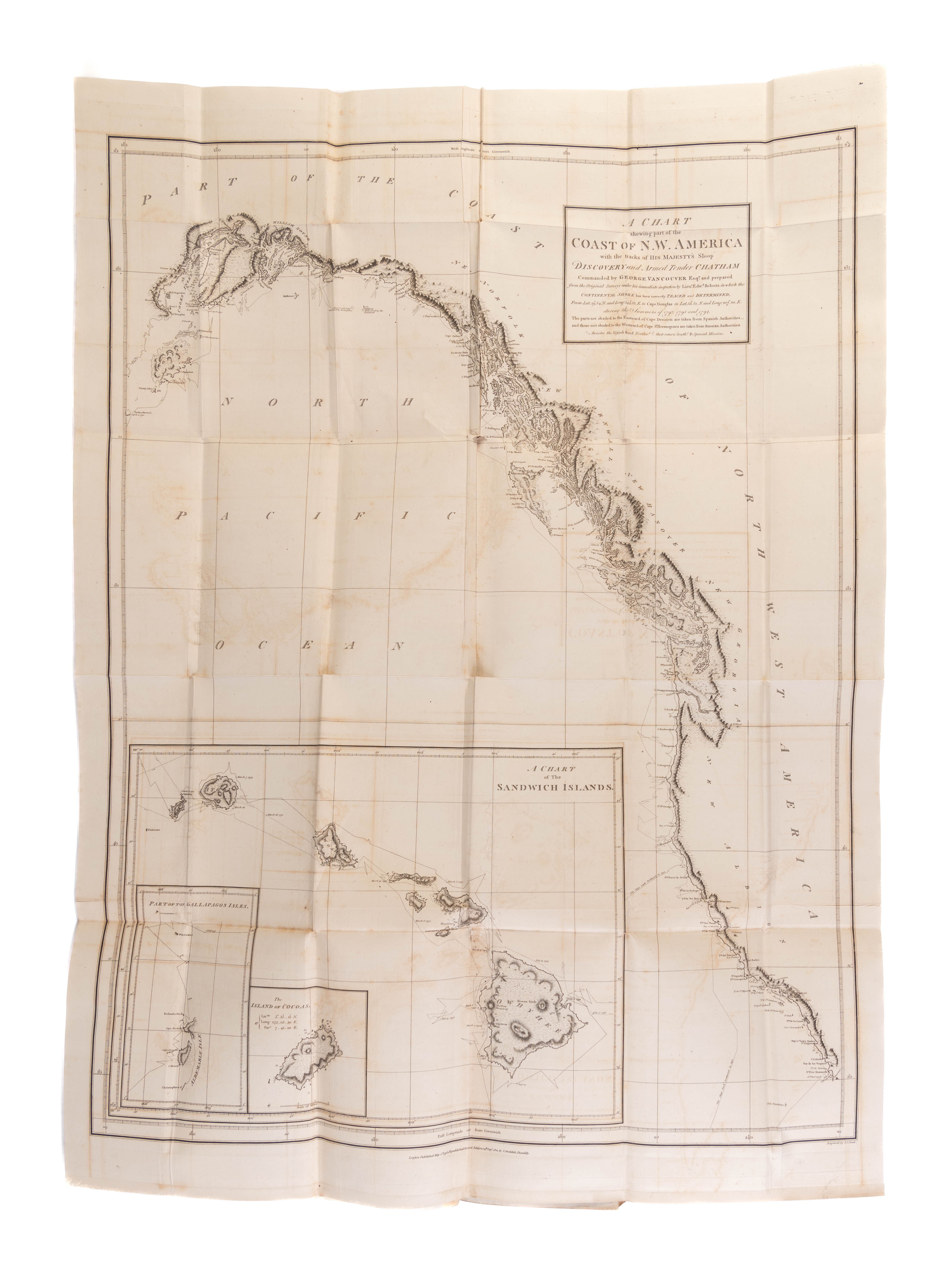
The large engraved map is an entirely new work based on chart 14 in the atlas with three inserts (including the Sandwich Islands) not found in the original version. This map was re-engraved as all the original copper plates for the charts from the first edition atlas had been stolen by the time this edition was published.
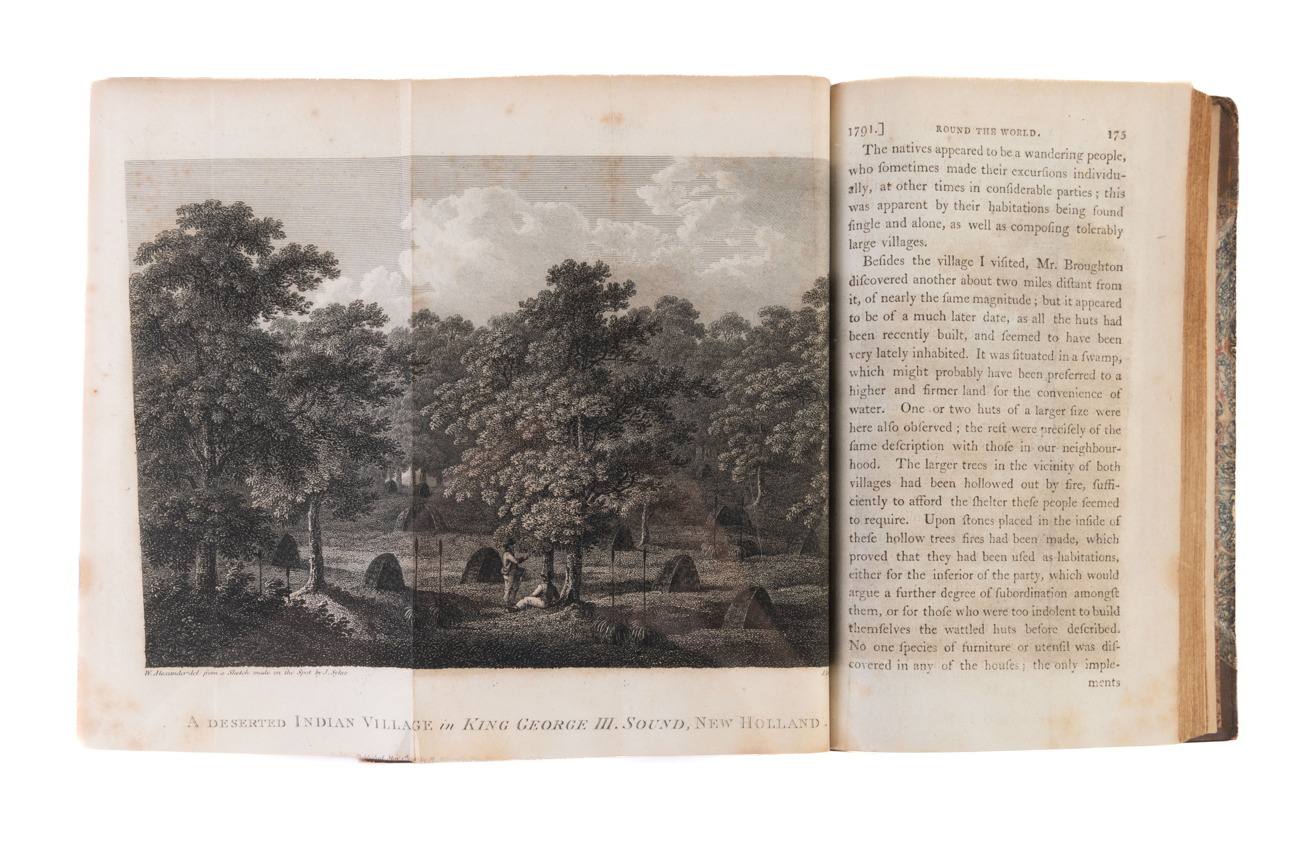
In 1792, under the orders of George III, Vancouver set out from England to survey the Spanish settlements and coast-line from La Paz in Baja California, to San Francisco, and beyond to the coastline discovered by Cook. His voyage to the northwest coast of America and the hydrographical work completed there rank him as one of Britain's foremost navigators, and Cook's most able protegé. Amongst the ship's companies were Lieut. Zachary Mudge and midshipmen John Sykes,Thomas. Heddington and Henry Humphries and the engraved illustrations made from their his drawings illustrate the work. Those by John Sykes were the first published views of California.
Vancouver's impression of the Spanish settlements was of weakness and waste upon the part of the government of Spain. He wrote: "Why such an extent of territory should have been thus subjugated and after all the expense and labour that has been bestowed upon its colonization turned to no account whatever, is a mystery not easily to be explained." Sabin, 98443; Forbes, 335; cf Lada-Mocarski, 55.
Stock Code: 202032


