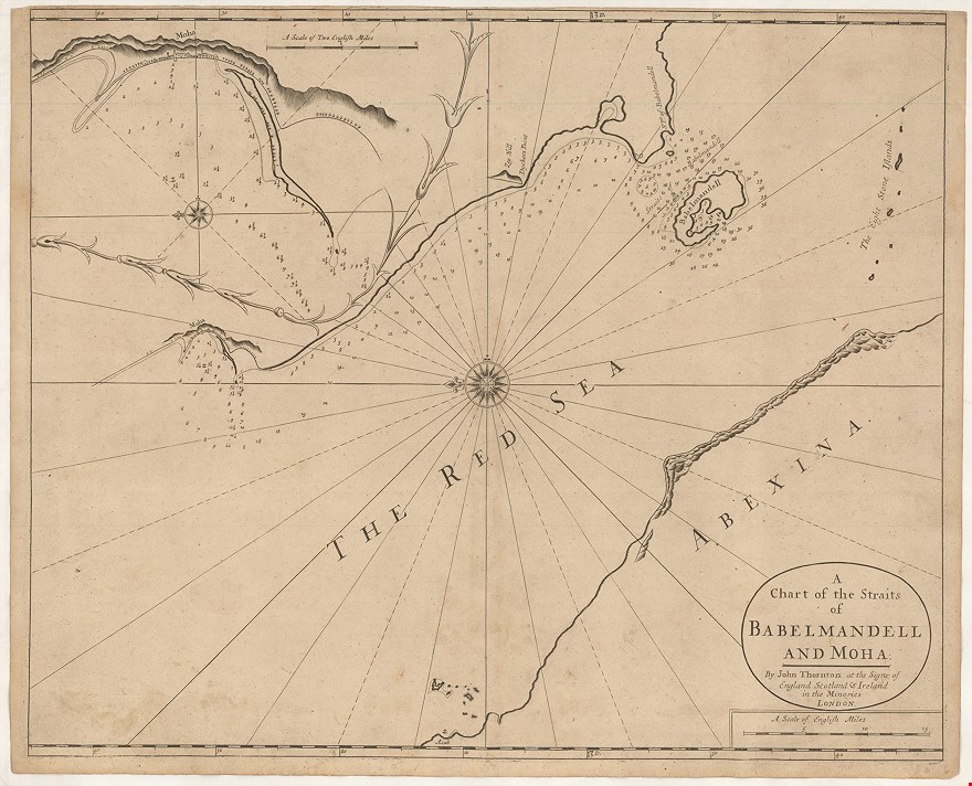
A Chart of the Straits of Babelmandell and Moha. By John Thornton ...
THORNTON John (1703)
£1250.00
Please contact us in advance if you would like to view this book at our Curzon Street shop.
Copper engraving, 445 x 545 mm. London : John Thornton,
This chart was published in the First Edition of John Thornton's The English Pilot. The Third Book, a pilot guide with charts describing the sea-route round Africa to the East Indies and Far East, the first volume of its kind published anywhere in Europe.
The chart extends from 'Moha' and 'Asab' (in 'ABEXINA') south to 'Babelmandell', 'So. Pt of Babelmandell' and 'The Eight Stone Islands'. depicting the Straits of Bab al Mandab and Al Mukha, at the mouth of the Red Sea, while an untitled inset gives an enlarged depiction of the coast around 'Moha'.
This is the first state of the chart, with the imprint of John Thornton; it appeared thus only in the first edition of the 'Third Book' in 1703, which is recorded in four institutional locations.
The plate remained in use until 1761, by which time the plate was heavily worn; this early impression emphasises the quality of Thornton's chart-making and engraving.
Stock Code: 222726


