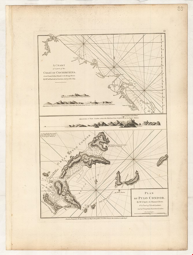
A Chart of Part of the Coast of Cochinchina, from Cham-Collao Island to the Kings River Mr Mr. le Floche de la Carriere ... [&] Plan of Pulo Condor ...
SAYER Robert.; BENNETT John (1778.)
£300.00
Please contact us in advance if you would like to view this book at our Curzon Street shop.
Copper engraving, 475 x 335 mm. London : Robert Sayer & John Bennett, 20 April,
From an early edition of Sayer and Bennett's Oriental Navigator ..., their extensive pilot book of the route from England to the Far East, including coverage of the east coast of Africa, Arabia, Persia, the Indian sub-continent, South-East Asia and the East Indies and on to the Far East, with China and Japan.
Stock Code: 226053


