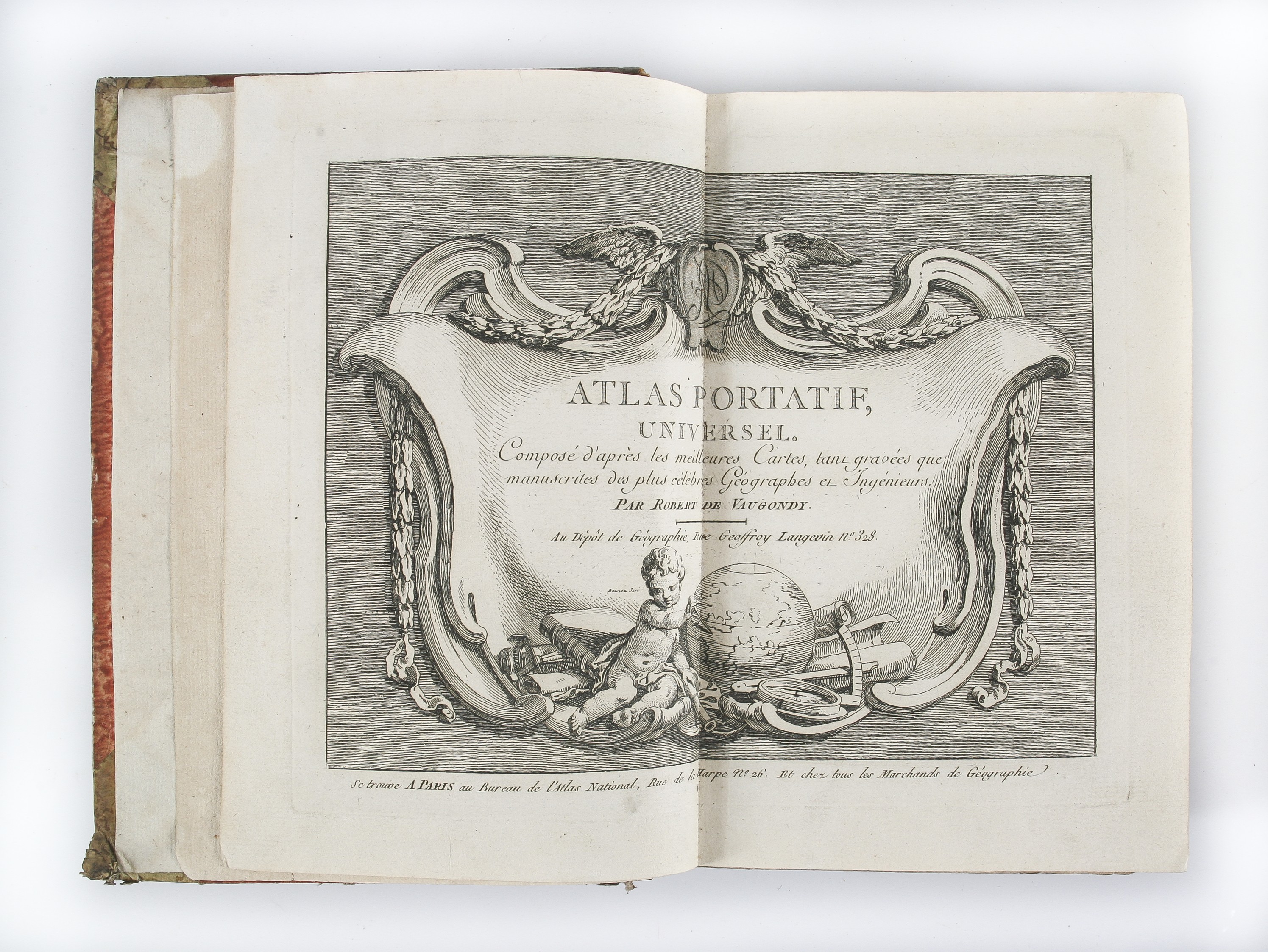
Atlas Portatif Universel. Compose d'apres les meilleures cartes ...
ROBERT DE VAUGONDY Gilles ([ca. 1800].)
£4000.00
Please contact us in advance if you would like to view this book at our Curzon Street shop.
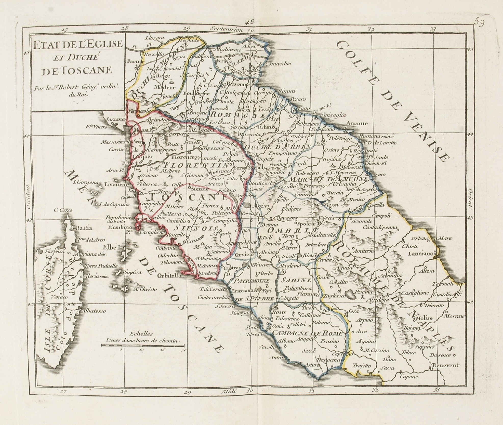
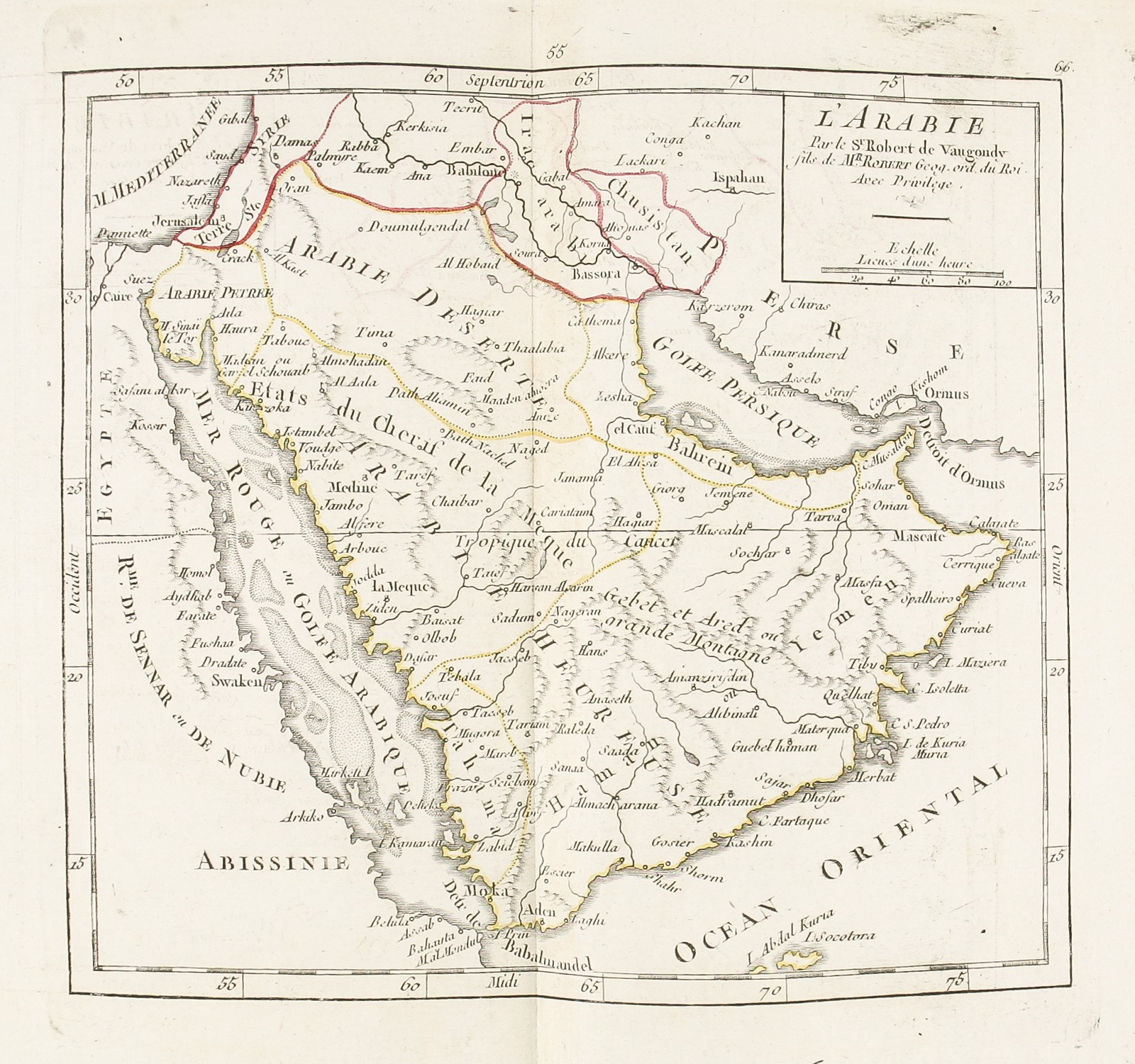
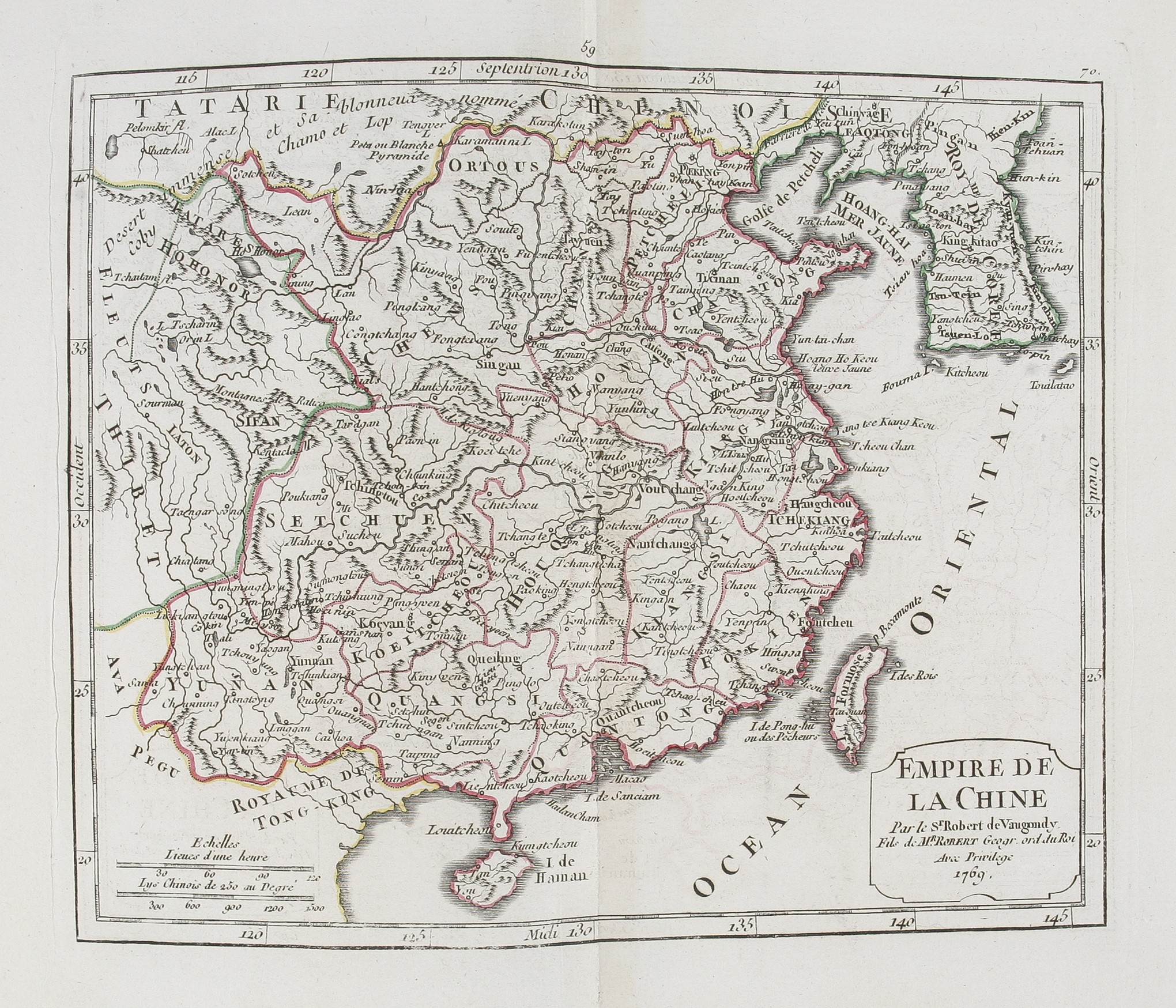
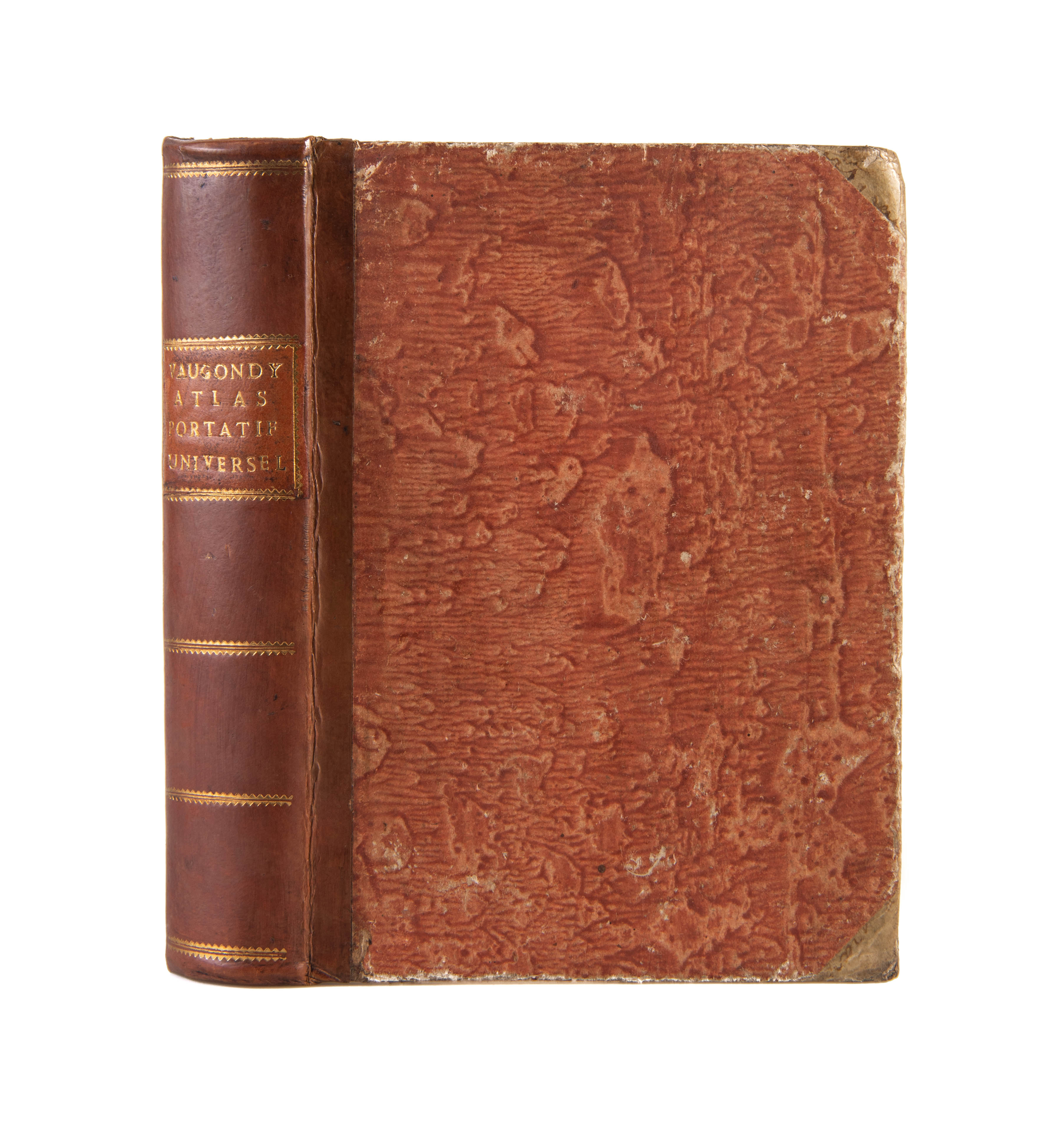
Quarto (213 x 154 mm); double-page engraved title-page, double-page letterpress 'Table des differentes cartes qui composent l'atlas', listing 102 plates, 101 maps and a key-map illustrating geographical terms, the map of France, large folding, the maps in original outline colour. Recent quarter calf with contemporary marbled paper-covered boards and vellum corners; orange morocco label with gilt letting to spine; a very good copy. Paris, Depot de la Geographie,
A beautiful late printing of Robert de Vaugondy's quarto world atlas, first printed in 1748-1749.
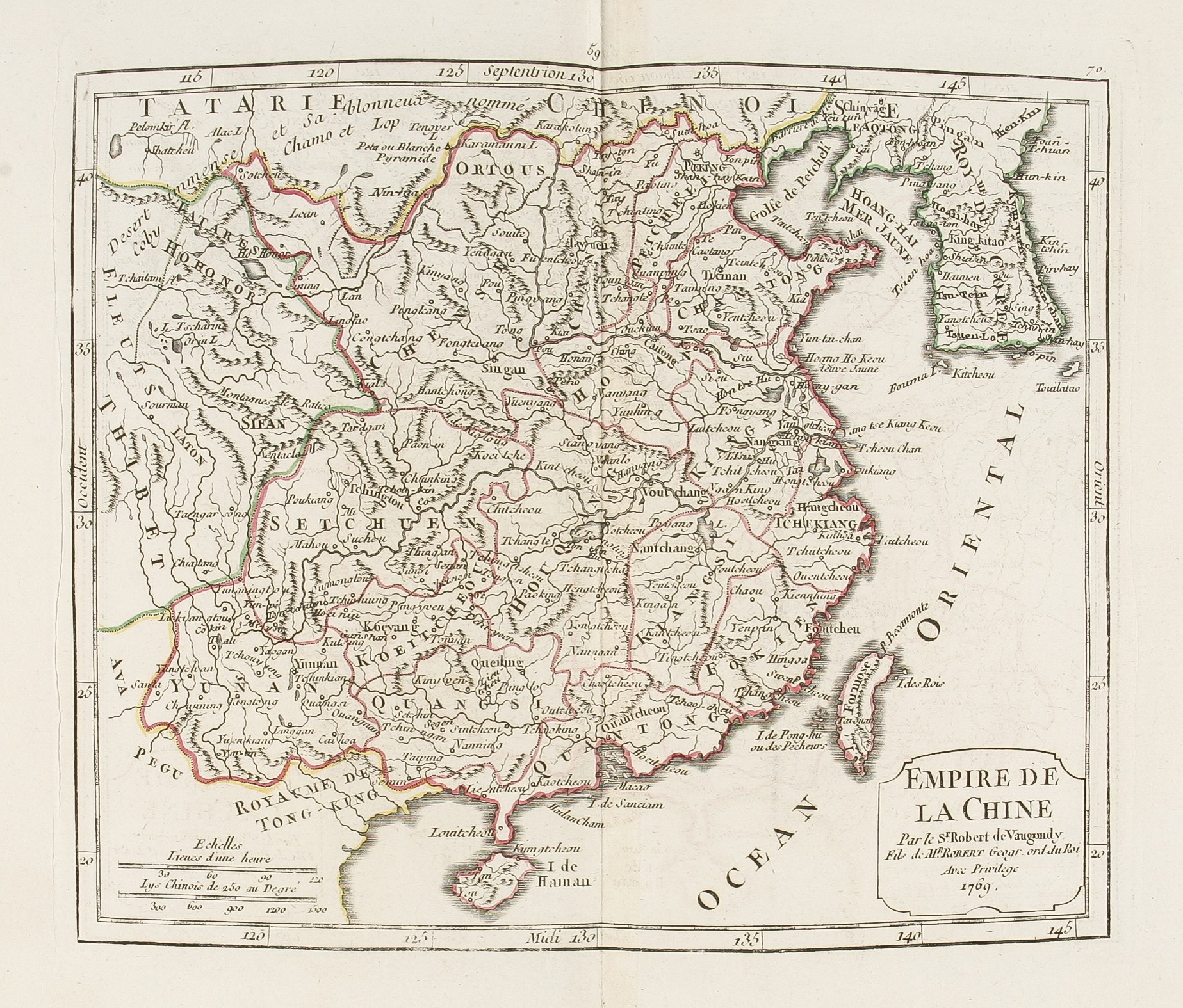
As is often the case with these later editions, a number of the maps have had their original engraved date crudely erased. This has been somewhat arbitrarily done as the date remains on other maps. For example China is dated 1769, also the map of St Domingue shows the division of Haiti into five districts, dating it to the period of the revolutionary revolt on the island (1791-1804).
Pedley, Bel et Utile, p. 221.
Stock Code: 223548


