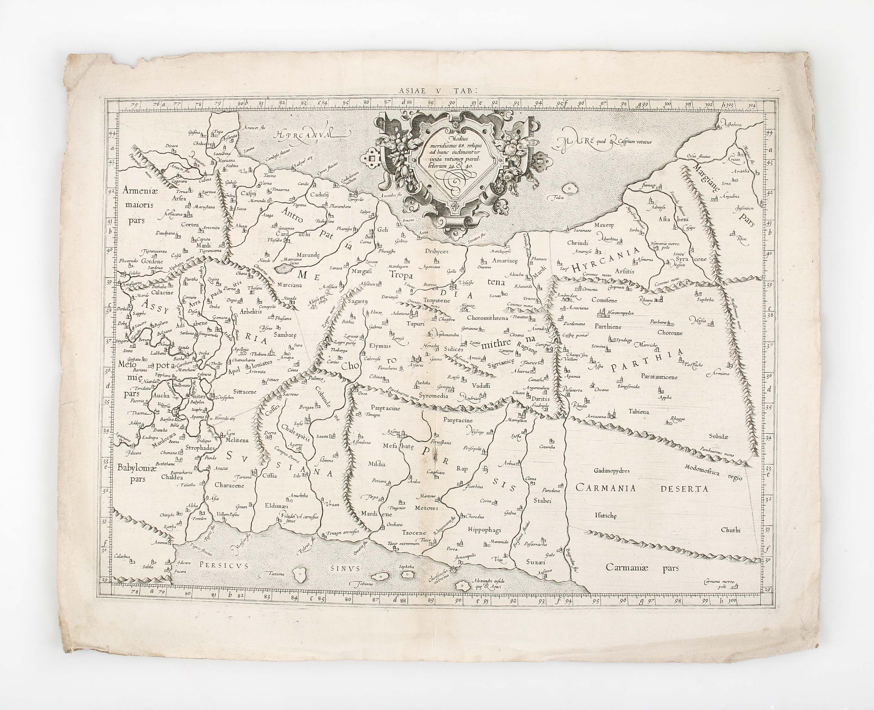
Asiae V Tab: ...
PTOLEMY Claudius.; MERCATOR Gerard ([1578].)
£600.00
Please contact us in advance if you would like to view this book at our Curzon Street shop.
Double-page engraved map, 360 x 455 mm; Latin text printed on the verso. [Cologne: Gerard von Kempen],
Claudius Ptolemy, often considered the "Father of Geography", was a Greco-Egyptian scholar working in Alexandria, Egypt, circa 150 A.D. His most lasting monument was the 'Geographia', a summation of the geographical knowledge of the world as it was known in his time, possibly illustrated with maps, but certainly incorporating the technical data necessary to create them. With the fall of the Western Roman Empire, the text was lost to western scholars until about 1406 when the scholar Jacobo d'Angelo prepared a Latin translation of a Greek manuscript.
The rediscovery prompted great excitement; numerous manuscript copies were made, many of them containing maps from Ptolemy's calculations. Later, with the invention of printing - particularly printing from engraved plates - Ptolemy's text, and the accompanying maps, formed the basis of the earliest printed atlases.
This engraved map was prepared by Gerard Mercator, a towering figure in the history of cartography, who coined the name 'Atlas' for a book of maps, and gives his name to the famous projection. Mercator undertook an ambitious project of mapping the universe, producing an edition of Ptolemy to illustrate the classical world to contrast with his modern Atlas.
Unfortunately, Mercator died before the Atlas was completed, but his heirs saw it to completion.
His Ptolemaic maps are regarded as the finest engravings of any of the many editions of Ptolemy.
Stock Code: 223404


