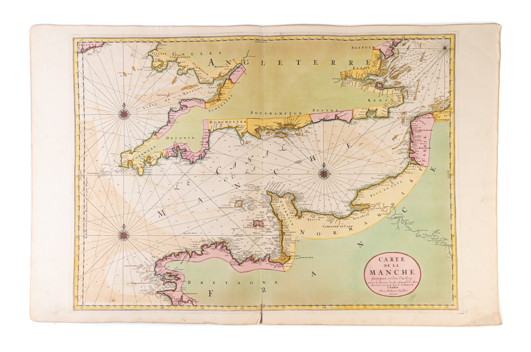
Carte de la Manche faite par ordre du Roy pour le service de ses Armées de Mer. ...
JAILLOT Alexis-Hubert ([ca. 1700].)
£1250.00
Please contact us in advance if you would like to view this book at our Curzon Street shop.
Copper engraving 580 x 805 mm, on two-sheets joined, in fine bright original wash colour, lightly offset. Short split to the lower centrefold.repaired. Amsterdam : Pieter Mortier,
From 1670 to 1689 Alexis-Hubert Jaillot (ca. 1632-1712) worked in partnership with the heirs of Nicolas Sanson, Guillaume and Adrien; they had fallen out with their father's publisher, Pierre Mariette jr., but did not have the capital to finance production of the maps themselves. The arrangement was for the Sansons, most probably Guillaume, to draught a series of two-sheet maps, which Jaillot would have engraved, and publish. These maps were to form the basis of the Atlas Nouveau, which was first assembled as an atlas in 1681.
In 1689, the partnership between Jaillot and the Sansons ended. With the end of that partnership, it seems that Jaillot entered into a new partnership with Pieter Mortier (1661-1711) in Amsterdam, to publish a Dutch edition of the Atlas Nouveau, with the title-page and all the maps bearing Jaillot's Paris address, and mostly dated 1692.
This fine map of the English Channel is one of the new maps added to the Amsterdam edition; this example is an early printing with the interior of England and France largely blank.
Stock Code: 227028


