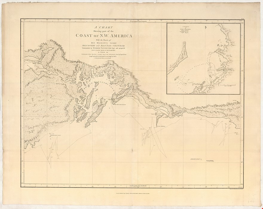
A Chart shewing part of the Coast of N.W. America, with the Tracks of His Majesty's Sloop Discovery and Armed Tender Chatham; Commanded by George Vancouver Esqr. and prepared under his immediate inspection by Lieut. Joseph Baker, in which the Continental Shore has been traced and determined from Lat. 59.o 45' N. and Long. 219.o 30' E. to Lat. 59.o 56' N and Long 212.o 08 E. at the periods shewn by the track
VANCOUVER George (1798.)
£2500.00
Please contact us in advance if you would like to view this book at our Curzon Street shop.
Copperplate engraving, 570 x 730 mm, a good example with wide margins. London: J. Edwards and G. Robinson, May 1st
Centred on Prince William's Sound, but extends westward to include the eastern ends of cook Inlet, with the modern site of Alaska's state capital, Anchorage.
Stock Code: 226328


