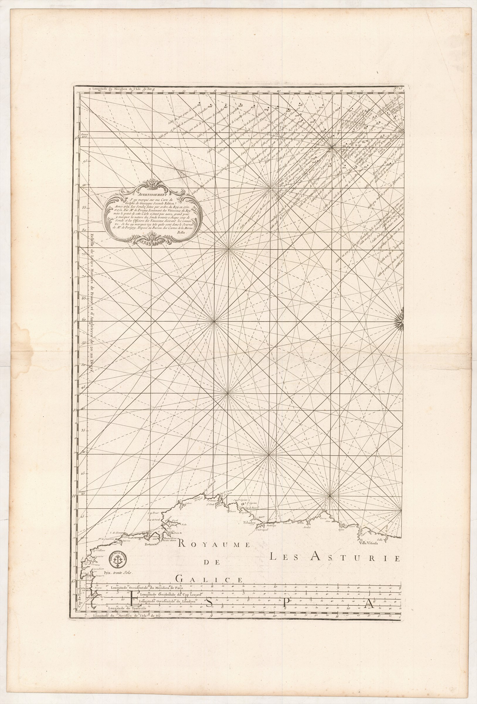
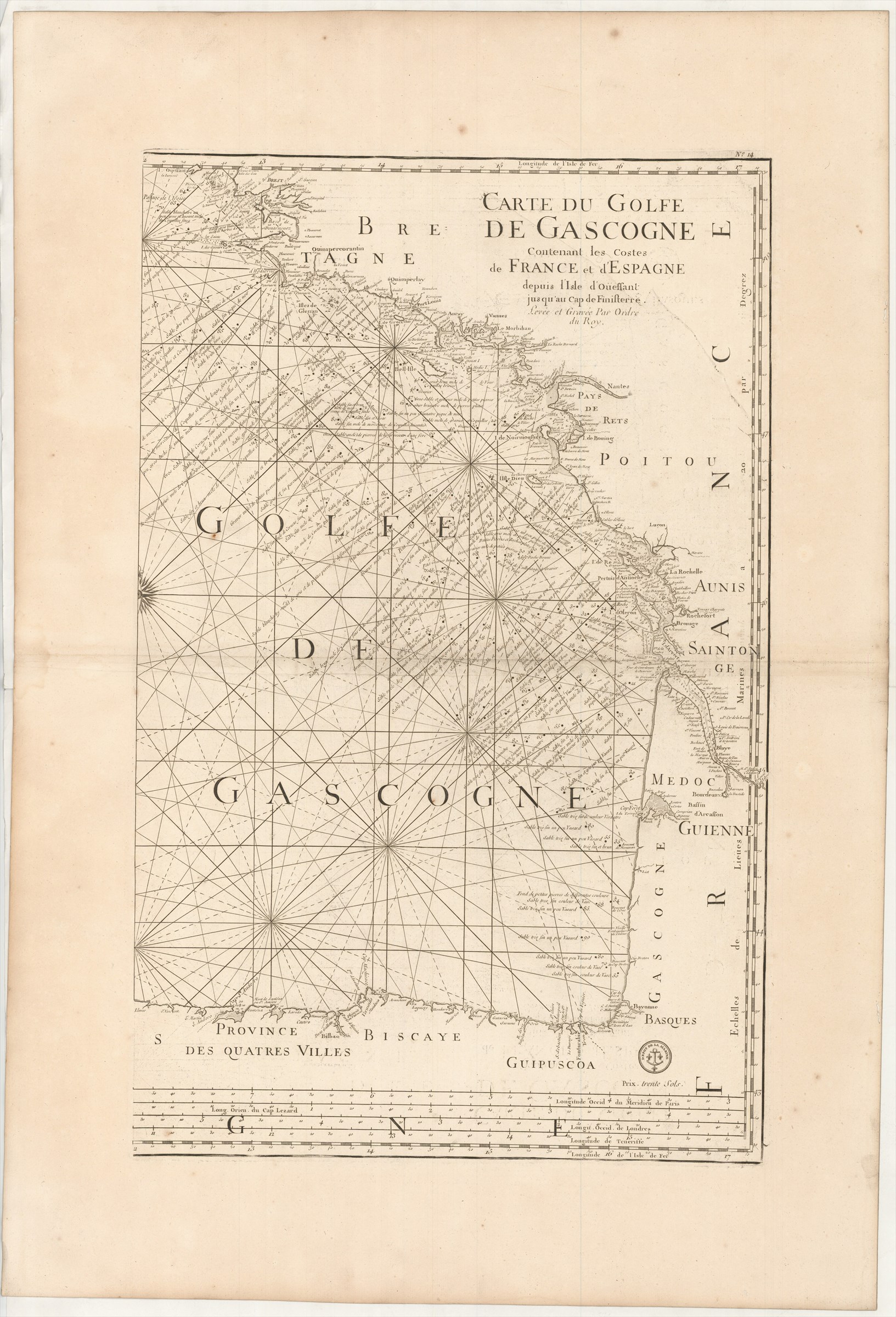
Carte du Golfe de Gascogne contenant les Costes de France et d'Espagne depuis l'Isle de Oüessant jusq'au Cap de Finisterre. Levée et Gravée par Ordre du Roy.
DÉPÔT DES CARTES ET PLANS DE LA MARINE. ; BELLIN Jacques-Nicolas ([ca. 1760].)
£600.00
Please contact us in advance if you would like to view this book at our Curzon Street shop.
Copperplate engraving, on two uncut sheets, 740 x 460 and 740 x 465 mm, with wide margins. A little offsetting off the ink. Paris : Dépôt des Cartes et Plans de la Marine,
A new chart, performed by Bellin, added to the second edition of the Dépôt des Cartes et Plans de la Marine's Le Neptune François ..., edited by Charles Pene and others, published during the Seven Years' War between Britain and France.
cf. Pastoureau, Neptune Français, notes.
Stock Code: 226221


