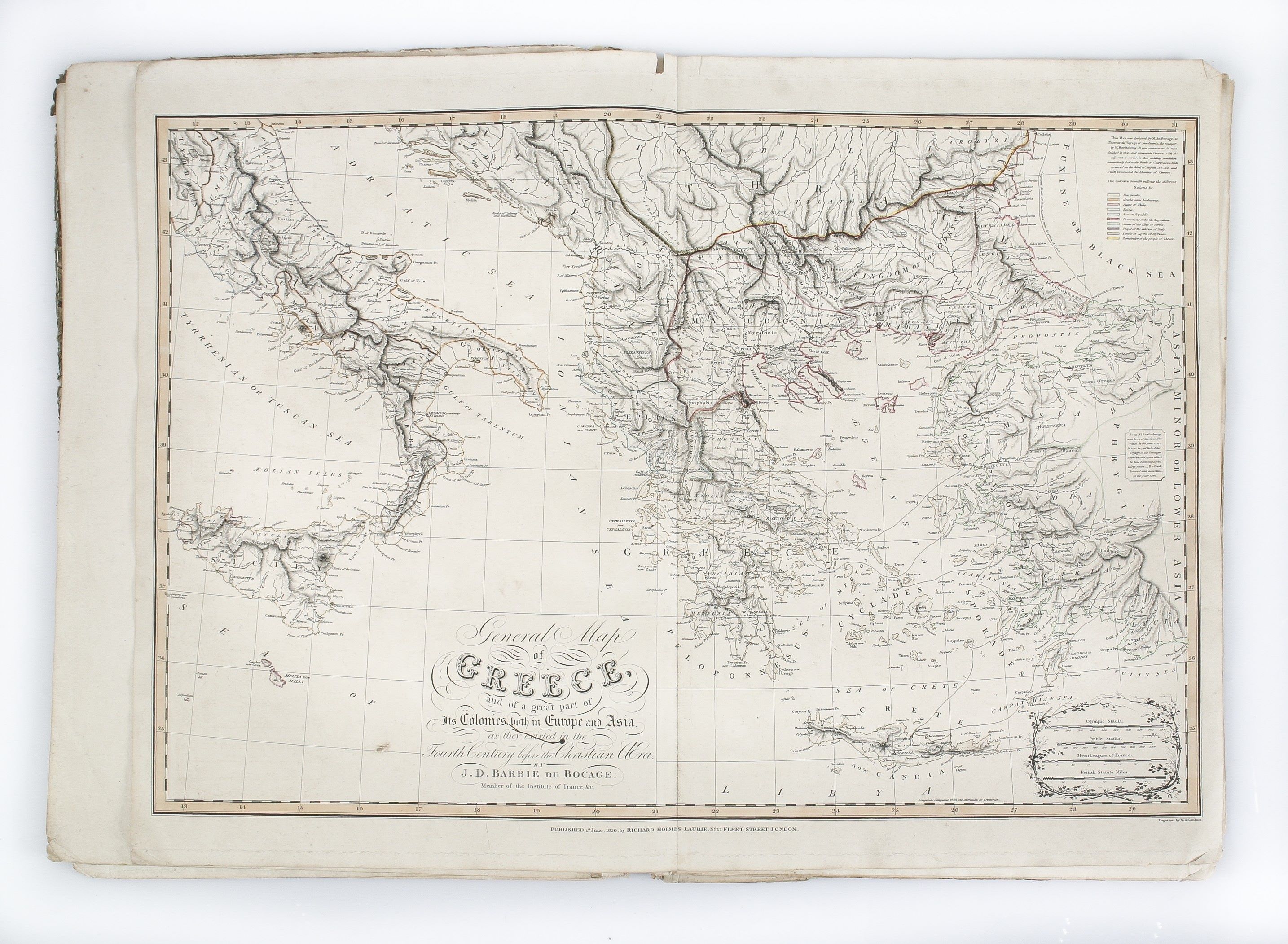
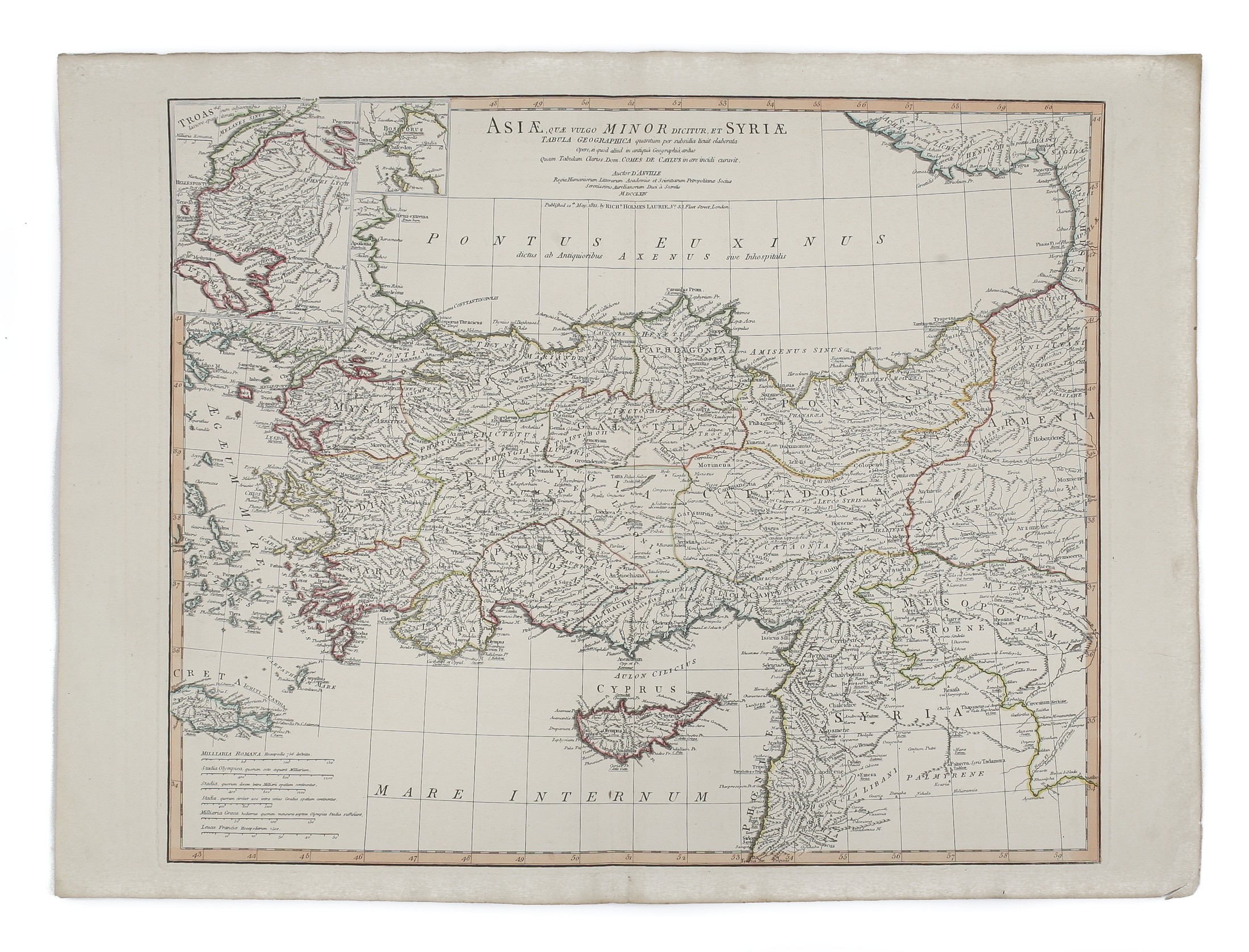
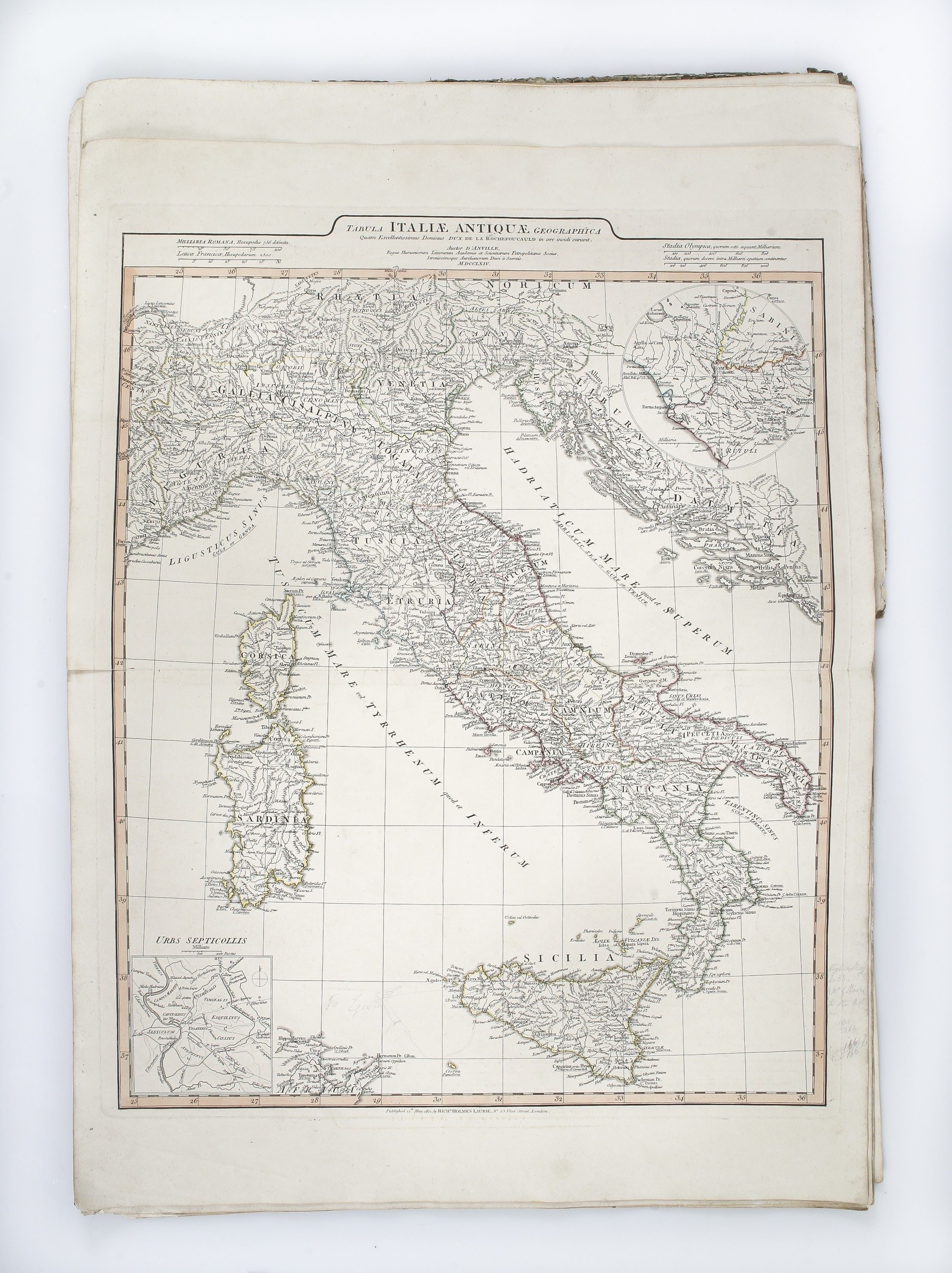
An Atlas of Ancient Geography. ... with two additional maps. Arranged as follows [list of 12 maps: Orbis Romani pars Orientalis; Orbis Romani pars Occidentalis; Orbis Veteribus Notus; Gallia; Italia; Graecia; Asia Minor et Syria; Palestina; Aegyptus; Britannia Romana; Germany, France, Italy, Spain and the British Isles ...
D'ANVILLE Jean-Baptiste Bourguignon ([1821].)
£1500.00
Please contact us in advance if you would like to view this book at our Curzon Street shop.
Elephant folio (548 x 388 mm); letterpress title-page, twelve engraved maps, eleven printed from the original Sayer plates, now dated 12th May 1821, the 12th a map of Greece after Barbie de Bocage, dated 1st June 1820; the maps in original outline colour. Recent quarter calf with blue paper-covered boards, red morocco label with gilt lettering to upper board. Near fine. London : Richard Holmes Laurie,
Rare late edition of this popular and very successful atlas of the classical world, now reprinted by Richard Holmes Laurie, successor to the firm of Laurie and Whittle, with the existing maps now re-dated 12th May, 1821.
The letterpress title-page is interesting as listing a number of items from his stock, notably John Walker’s map of Palestine, first printed in 1821, which gives an approximate date for the printing of this edition of the atlas.
This edition has the pair of maps of northern and southern Greece replaced by a newly prepared map of Greece, based on the work of the French cartographer Jean-Denis Barbie du Bocage (1760- 1825), dated 1st June, 1820.
COPAC records only five institutional copies (all British), but not the BL.
Stock Code: 223844


