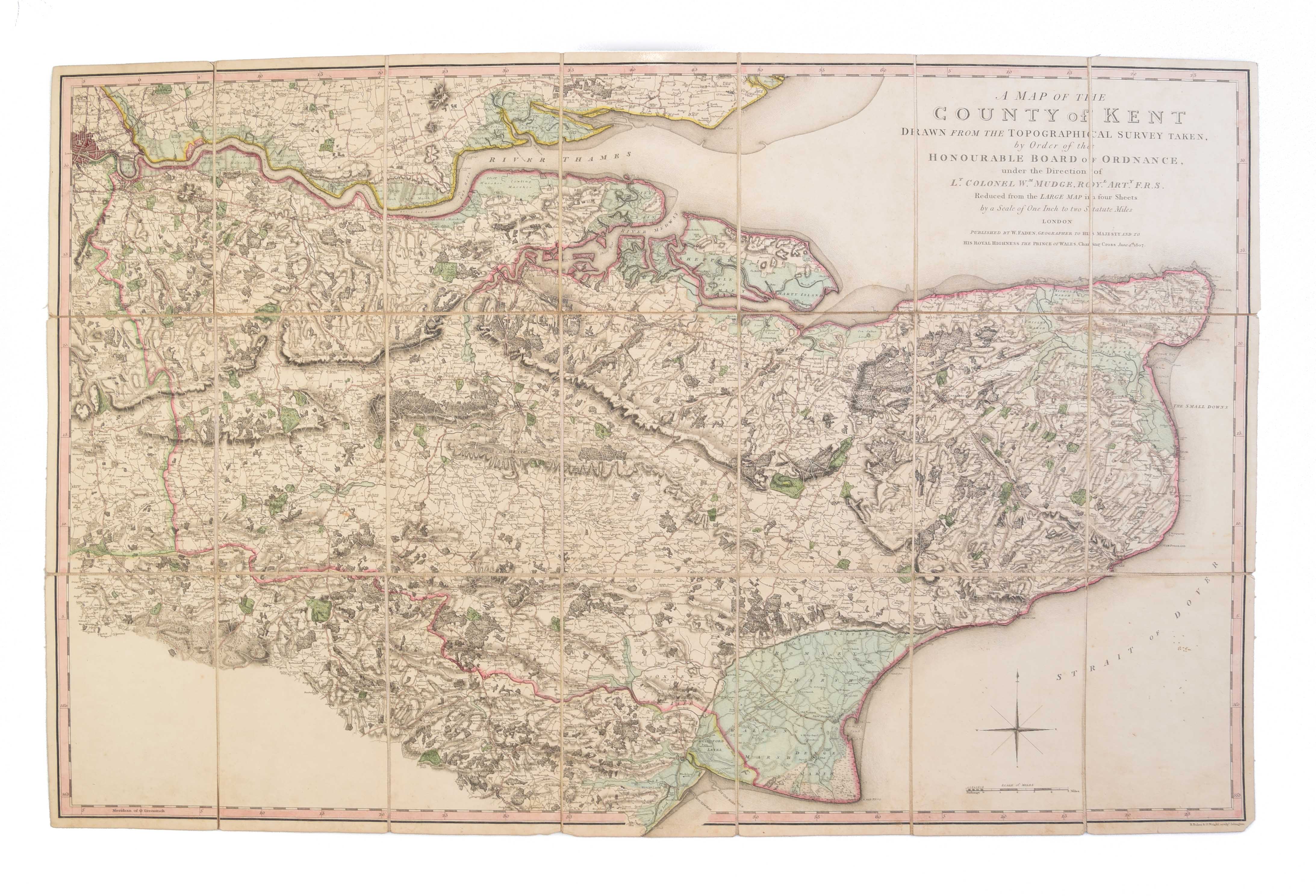
A Map of the County of Kent Drawn from the Topographical Survey taken, by Order of the Honourable Board of Ordnance, under the Direction of Lt. Colonel Wm. Mudge, Royl. Arty. F.R.S. Reduced from the large map in four Sheets, by a Scale of One Inch to two Statute Miles ...
FADEN William Jr. (1807)
£1500.00
Please contact us in advance if you would like to view this book at our Curzon Street shop.
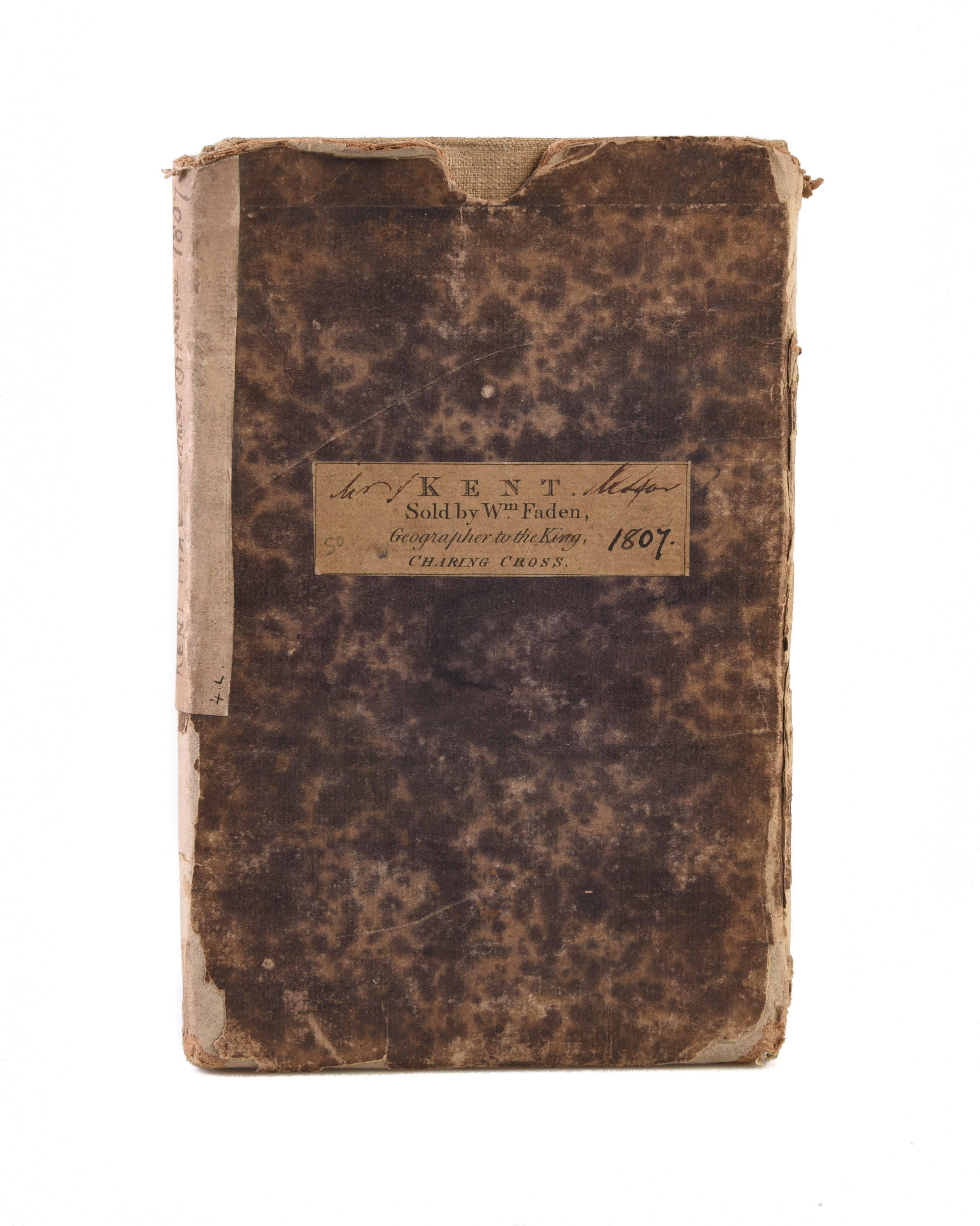
Engraved map, 587+ x 848 mm, in original wash and outline colour, dissected and mounted on linen, with publisher's address label on the reverse, folding into the original marbled slipcase with engraved title label, 'Kent. Sold by Wm. Faden, Geographer to the King, Charing Cross.', and a manuscript spine label 'Kent Map. Reduced Ordnance 1807'; the slipcase worn, with paper loss. London : William Faden jr., June 4th,
William Faden was the leading London publisher in his time of large-scale county maps; when the Board of Ordnance began to publish the first Ordnance survey maps, he was he obvious publisher of choice, issuing the first OS map, of Kent, engraved on four-sheets at one inch to one mile, in 1801.
While the map is justly celebrated, the publication may not have been a commercial success, and the second Ordnance Survey map, of Essex, was published by the Ordnance Survey. However, Faden issued single-sheet reduction of both these maps, at half-an-inch to one statute mile, which seem to have had a wider market, partly being more practical in size.
This is the first state of the single-sheet map of Kent; it was reprinted by Faden and his successors on into the 1860s. The engraving was carried out by Benjamin Baker and David Wright; Baker was principal Engraver to the Board of Ordnance at the Tower, his staff regarded as "the best topographical engravers in Europe".
Very scarce.
Rodger, Large Scale County Maps, 238: noting three institutional locations; Burgess, Printed Maps Of Kent, 94/i: noting two institutional locations.
Stock Code: 222816


